
Near Van Buren, Missouri · 8.6 mi away
A spring rising in a cave mouth up a short branch off the Current River between the Hickory and Cataract landings, with a Park Service day use area and river trail. The spring water is strictly off limits, but the cave is one of the few in the park open to enter on foot, as far as the interior shade line.
Near Van Buren, Missouri · 9.2 mi away
A Park Service landing on the Lower Current a fifth of a mile below Hickory Landing: the take-out for the Big Spring to Cataract float and the last named landing above Gooseneck.
Near Van Buren, Missouri · 9.4 mi away
A Park Service landing at River Mile 7 on the Lower Current, at the end of a gravel road off Highway E, and the shore point for the Lower Current's Cave Spring.
Near Van Buren, Missouri · 12 mi away
A small, quiet conservation lake east of Van Buren with a concrete ramp for electric-motor boats, a mile-long trail around the water, picnic areas at two parking lots, and bass, bluegill, catfish, and redear sunfish.
Near Van Buren, Missouri · 13 mi away
One of the smallest campgrounds in Ozark National Scenic Riverways: five sites and no hookups on a broad sandy clearing above the lower Current River, across the water from Kelley Bluff, reached down a park road off Carter County Road 227.
- Camping
- Float Trips
- Fishing
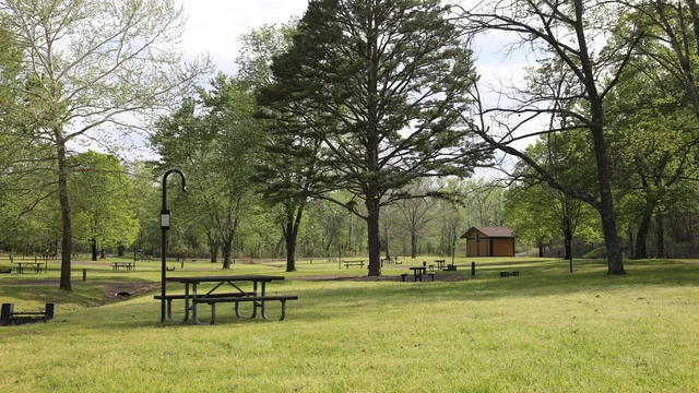
Near Van Buren, Missouri · 13 mi away
The Park Service's main campground in the Big Spring area: 123 reservable sites on the Current River, a boat ramp, electric hookups in one loop, and Big Spring itself within walking distance.
- Camping
- Families
- First-Time Visitors
Near Van Buren, Missouri · 13 mi away
The Park Service campground at River Mile 0, where the Lower Current and the Riverways end: a large flat camping field on the river at the end of Big Barren Creek Road, with standard sites, a picnic area, and an accessible restroom.
- Camping
- Float Trips
- Swimming
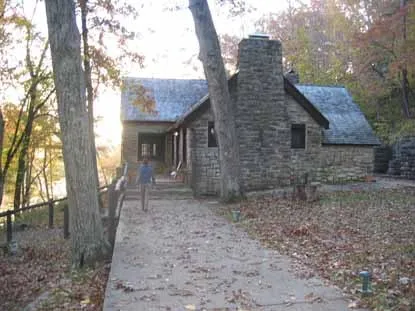
Near Van Buren, Missouri · 14 mi away
A National Register historic district of stone and timber buildings the Civilian Conservation Corps built at Big Spring in the 1920s and 1930s: a dining lodge, cabins, and a museum, closed for restoration but walkable today.
- History Lovers
- Photographers
- Hiking
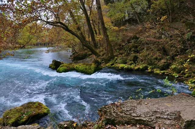
Near Van Buren, Missouri · 14 mi away
One of the largest springs in the United States, pouring an average of 289 million gallons of clear blue water a day into the Current River, four miles south of Van Buren.
- First-Time Visitors
- Families
- Photographers
Near Grandin, Missouri · 14 mi away
A 288-acre natural area on the lower Current River with old-growth sycamore bottomland and a natural dolomite arch in the east-bank bluff, reached on foot from a signed pull-off on Forest Service Road 3140 west of Grandin, or by floating across from Gooseneck.
- Hiking
- Fishing
- Quiet Escapes
Near Grandin, Missouri · 15 mi away
The Forest Service's northernmost Current River access: a one-lane gravel launch on the east bank below Gooseneck, with a vault toilet and parking for twelve rigs with trailers, on a quieter stretch the Forest Service rates for fishing. Its ramp is currently reported inaccessible due to flood damage.